We are just getting your request from the archives. Please note some videos may take a minute or so to load.
-
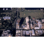
BA2521/289: Aerial view of Perth looking south
-
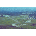
BA2521/290: Aerial view of Perth Airport
-
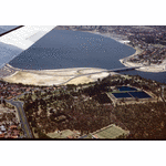
BA2521/44: Aerial view of Perth Water, Narrows Bridge and Kings Park Reservoirs
-
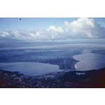
BA2521/51: Aerial view of Perth looking south over the Narrows Bridge
-
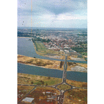
BA2521/47: Aerial view of Perth looking north west over The Causeway
-
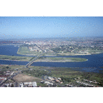
BA2521/46: Aerial view of Perth, The Causeway and Heirisson Island
-
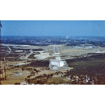
BA2521/55: Aerial view of Perth Airport and runways
-
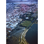
BA2521/49: Aerial view of Perth across The Esplanade to East Perth
-
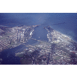
BA2521/58: Aerial view of Fremantle and the harbour
-
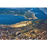
BA2521/53: Aerial view of Perth looking south showing Parliament House and Pensioner Barracks
-
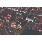
BA2521/52: Aerial view of Victoria Square and St. Mary's Cathedral, Perth
-
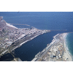
BA2521/57: Aerial view of Fremantle Harbour
-
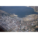
BA2521/48: Aerial view of Perth looking south east, 1964
-
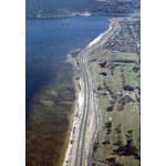
BA2521/54: Aerial view of Kwinana Freeway looking north from South Perth
-
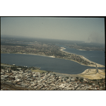
146042PD: City of Perth, Perth Water, the Narrows and south across South Perth and Como, 1961.
-
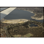
146043PD: The Narrows Bridge with reclaimed land, Kings Park and Royal Kings Park Tennis Club in the foreground, 1961
-
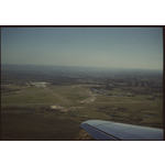
146044PD: Approaching landing at Perth Airport, September 1961
-
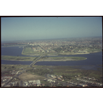
146045PD: West across the Causeway to Perth City, 1961.