Item Detail
Summary
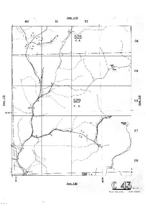
Topographical map; Western Australia; twenty chain; 20 chain.Western Australian Forests Department 20 Chain series of Topographic map sheets C series covering area East of Pinjarra. All these were published between 1929 and 1959. Each series has an index map. Forestry map series of Western Australia showing cadastres, sawmills, quarantine areas, pine plantations, reserves, Forests Dept. tracks and roads.
Year
[ca. 1930]-[ca. 1958]
Warnings and disclaimer
Digital image of Index map to Forests Department's C series 20 chain maps is of poor quality.
Subjects
Terms of use
For personal use only. To publish or display, contact the State Library of Western Australia.
Links & Sharing
Order a Copy
Copies of items can be ordered from the State Library collections for personal use, research, or public display and publication. Copyright and other restrictions may apply. For more information about this service please visit the State Library website.
Contribute
Can you provide any additional information about this item, or do you have any general feedback about the new State Library online media viewer? Please let us know using the form below.
Info & Help
You are using the State Library of Western Australia online media viewer. Use this app to view digitised items within the State Library catalogue.
Desktop keyboard shortcuts
| Key | Behaviour |
|---|---|
| i | show detail about this item |
| l | show linking and sharing options |
| o | show information about ordering a copy of this item |
| c | show contribution form |
| h | show help panel (this panel) |
| x | close side panel |